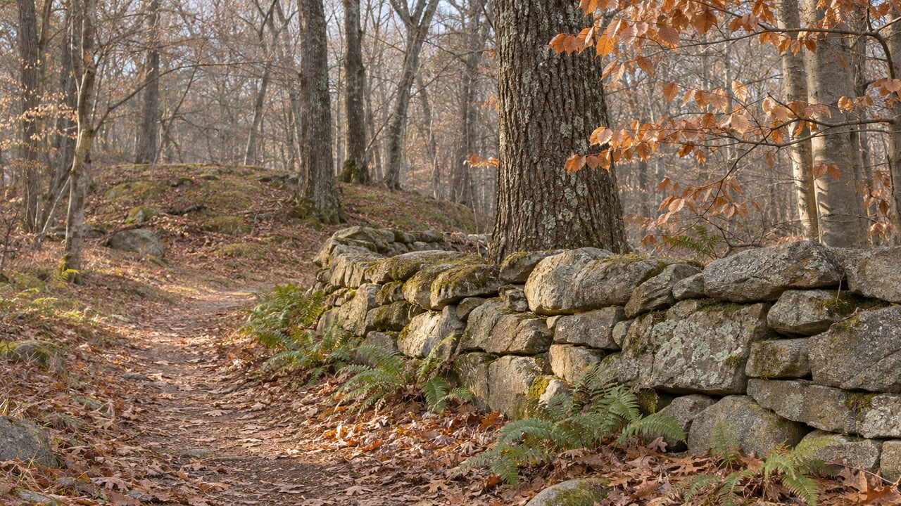
The pull-in lot on Macintosh Road serves two preserves that share a trail system. Walk one way and you are in Pleasant Valley Preserve, with its cedar fields and the spur down to the Eightmile River. Walk the other way and you are in the Jewett Preserve, 434 acres owned by the Town of Lyme. From November 18 through December 22, Monday through Friday, only one of those directions is open to walkers.
That is how deer firearm season works in Lyme. The closures follow parcel lines, and the trail networks on the Lyme Land Trust map cross those lines. So for five weeks of weekdays, one network splits in two, two others stay open from end to end, and on weekends the whole map is open again.
The Rule Behind the Split
The Town of Lyme and the Lyme Land Conservation Trust jointly run a controlled hunting program on specific preserves. Hunters need a permit and have to follow boundary setbacks. Under the 2026 hunting policy, deer shotgun and rifle season runs November 18 to December 8, and muzzleloader season runs December 9 to 22. Firearm permits are good only Monday through Friday, "and on these days preserves will be closed to other users." The Land Trust's season page gives the daily hours as half an hour before sunrise to sunset.
Bow season works differently. Bow hunting runs September 15 to November 17 and again from December 23 to January 31. During those weeks the same preserves stay open to hikers every day, and hunters must stay at least 100 feet from trails. The weekday closures apply only during the firearm weeks.
These are the preserves in the program:
| Preserve | Owner | Size | Firearm-season weekdays |
|---|---|---|---|
| Beebe/Hilles Central | Land Trust | 107 acres | Closed |
| Chestnut Hill | Land Trust | 40 acres | Closed |
| Plimpton | Land Trust | 88 acres | Closed |
| Hilles West | Land Trust | 50 acres | Closed |
| Hilles East | Land Trust | 120 acres | Closed |
| Slawson | Land Trust | 54 acres | Closed |
| Mt. Archer Woods/Eno | Town/Land Trust | 235 acres | Closed |
| Johnston | Town | 250 acres | Closed |
| Jewett | Town | 434 acres | Closed |
| Hand Smith | Land Trust | 24 acres | Fall bow only |
On its hunting page, the Land Trust lists Pickwick's together with Mount Archer Woods and Eno among the preserves where hunting takes place. The policy says closures are announced with a press release in the local paper and with signs at trailheads and at the points where trails enter a hunting preserve. On any given weekday, those signs are the final word on whether a trail is open.
River to Ridgetop North Splits Down the Middle
Pleasant Valley, Jewett and Johnston together make up River to Ridgetop North, 920 acres with 13.5 miles of trail north of Mt. Archer Road. Parking is at the Macintosh Road pull-in lot, the Jewett cemetery entrance on Mt. Archer Road and the Johnston lot on Route 82. With the South preserves, the network adds up to more than 18 miles of trail, and it lets a hiker walk from Joshuatown Road or Macintosh Road all the way through to Route 82. That through-hike isn't possible on weekdays until December 22, because Jewett and Johnston are both on the firearm list.
Pleasant Valley is not on the list. The 235-acre preserve has 3.85 miles of trail on four routes. The red and blue trails run through fields with cedars and a pine grove and along the rim of a kettle hole, and a spur off the red trail leads to the Eightmile River. The policy also keeps hunters in Jewett at least 500 feet from the Pleasant Valley border.
Pleasant Valley has one seasonal exception of its own. The yellow trail climbs through mature woodland to a bench with a view, and the section of it that crosses private property is closed during hunting season in November and December. This time of year, the fields and the river spur make the easier loop.
Lyme Corner Trails Stay Whole
The largest network that stays open every day is on Gungy Road. Lyme Corner Trails combines Hartman Park, Walbridge Woodland and the Philip E. Young Preserve: 422 acres and 12 miles of trail, with four parking areas along Gungy Road. None of the three is on the firearm list.
On weekdays when Jewett is closed, Lyme Corner has about as much trail as River to Ridgetop North:
- Hartman Park: 302 acres and 9 miles of trail. The 3-mile orange Heritage Trail passes archaeological ruins, the red trail follows ridges and ledges, and the green trail is a quarter-mile round trip to the fairy circle. Horses and non-motorized bikes are allowed on every trail except the white.
- Walbridge Woodland: 46.4 acres and 1.25 miles of trail. The white trail passes a cedar grove and an old barn foundation, and the upper white trail follows a rocky ridge lined with stone walls. Parking is at the main Hartman Park entrance.
- Philip E. Young Preserve: 82 acres and 1.5 miles of trail, with parking on the east side of Gungy Road about half a mile north of Beaver Brook Road. The first 100 feet of the red trail is a steep, rocky climb, and the yellow trailhead a short walk south is easier. Blue spur trails lead to overlooks at the tops of cliffs.
Hadlyme Hills Also Stays Whole
The Hadlyme Hills network is Brockway-Hawthorne Preserve, the Ravine Trail and Selden Creek Preserve: 476 acres and 6.5 miles of trail, with parking on Brush Hill Road, Joshuatown Road, at Selden Cemetery and on Mitchell Hill Road. From the Brush Hill Road lot, the white trail runs through all three preserves to an overlook above Selden Creek, about 4 miles round trip.
Selden Creek does have a hunt. The Nature Conservancy runs a deer hunt there, but the preserve stays open because the hunting area is separate from the part with public trails. Brockway-Hawthorne covers 82 acres with 2.5 miles of trail, and its Brush Hill Road lot is half a mile south of the Hadlyme Country Store.
Banningwood is closer to the Route 82 corridor. It is 102 acres with 1.7 miles of trail, and parking is at 19 Town Street, a quarter mile north of Hadlyme Four Corners. The red trail is a 1-mile loop along Roaring Brook to the picnic tables at Diana's Field, then climbs to Parker's Perch, a viewing platform on a rock outcrop in the Honey Hill Fault Zone. The preserve protects three-quarters of a mile of Roaring Brook.
A Wednesday Walk Scheduled in the Middle of It
The Land Trust's calendar includes a Wednesday Walk with Wendy and Cam at Brockway-Hawthorne Preserve on November 25, from 9:30 to 11:30 a.m. It is described as a gentle-to-moderate walk of 2.5 miles. Wendy Hill and Cameron Beard lead the series, and registration is by email to [email protected]. The walk falls on a weekday in the middle of shotgun season, at a preserve that isn't on the firearm list.
The Land Trust's calendar also has a November 15 teen hike and stewardship meet-up and a December 13 Tree Collective teen hike and stewardship meet-up. Both involve hiking and trail work in Lyme preserves.
Weekends, Orange and the Land Next Door
The policy is clear: "No hunting on Saturday or Sunday all seasons." On Saturdays and Sundays, Jewett, Johnston, Mt. Archer Woods and the other program preserves reopen to everyone, and the route through River to Ridgetop is open again.
A preserve boundary doesn't mark where hunting stops, though. The Land Trust notes that hunting can legally take place on nearby private and state land on any day of the week. DEEP's 2026 deer hunting guide sets the same November 18 to December 8 shotgun and rifle dates and the same December 9 to 22 state-land muzzleloader dates as the Lyme program. In the 2026 public hunting area list, Selden Neck State Park is archery-only for deer and turkey, with no archery during muzzleloader season. Nehantic State Forest's hunting map marks some areas open to all methods and others archery-only, and notes that posted signs govern.
That is the reason for the Land Trust's first rule of the season. The policy strongly recommends fluorescent orange for people and their dogs from September 15 through January 31, which covers the bow weeks, the firearm weeks and the late bow season too. If you see anyone acting suspiciously in a preserve, the policy says not to confront them and to call CT DEEP Dispatch at 860-424-3333, then notify the Open Space Coordinator.
This post is general information, not legal advice. Hunting rules and access can change, so check the Town of Lyme, the Lyme Land Trust or CT DEEP before you head out.
Knowing which lot to park in during the second week of December is the kind of everyday Lyme detail I keep track of for my clients. If you're thinking about life on this side of the river, or about a property that borders one of these preserves, Tammy Tinnerello would be glad to walk you through it. Work With Tammy.